Gold in Virginia
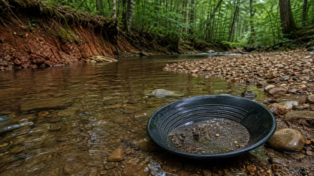
Yes. Virginia has gold. The Commonwealth produced it for more than 200 years along the Gold-Pyrite Belt, decades before California, and in the Virgilina district to the south. Historic production is on the order of 100,000 ounces through 1947.
What people mean by gold in Virginia is native gold in quartz veins and in creek gravel that drains those veins. Commercial mines are mostly gone. The geology is not. Hobby finds today are usually fine placer gold, not museum nuggets.
This page is a research doorway, not a list of verified dig spots. Use it to see which counties and rivers sit on mineralized ground, then open the map. VaGoldMaps plots 541 documented mine and prospect sites. Confirm ownership and rules before you ever put a pan in the water.
Open the map: 541 documented sites · Create a free account: 3 days of full access
Where gold occurs
Most Virginia gold sits in the Piedmont along the Gold-Pyrite Belt: a band of mineralized rock running roughly 175 miles northeast to southwest, from just south of Washington, D.C., into the central Piedmont. More than 95 percent of known historic gold mines and prospects are in the Piedmont.
The Virgilina district in Halifax, Charlotte, and Mecklenburg Counties is the second major cluster. A few Blue Ridge occurrences exist, but the research density on the map is Piedmont ground: quartz veins, old shafts, and the creeks that drain them.
Related reading: The Pyrite in the Name explains why pyrite shows up beside gold in quartz on Gold-Pyrite Belt ground.
Counties known for gold
These counties sit on belt or Virgilina geology and show up again and again in the historic record. That is a research list, not a permission list. Open a county for the local inventory and a map view.
- Louisa
- Spotsylvania
- Orange
- Buckingham
- Fluvanna
- Goochland
- Prince William
- Stafford
- Fairfax
- Halifax (Virgilina)
- Charlotte (Virgilina)
- Mecklenburg (Virgilina)
Rivers worth researching
Water concentrates placer gold where the current slows. That does not make an entire river public, productive, or legal to pan. Study the drainage on the map: historic mines upstream, inside bends, bedrock, and land status. The map links below open a research view of the reach, not a secret hole.
-
James River
The James that matters for gold research is the Piedmont reach, where belt geology and historic mines sit near the river and its tributaries. The Blue Ridge headwaters in Botetourt are a different story. Look at gravel, bars, and side drainages below old workings, on land you can legally access.
-
Rapidan River
The Rapidan starts in Shenandoah National Park, where prospecting is prohibited. The research reach is downstream in Orange County gold country: gravel beds and banks on land that is not park, WMA, or private without permission.
-
Willis River
The Willis cuts Buckingham gold country near Willis Mountain and the old Booker / Garnett / Moseley camp. Gravel bars and slow water are where placer researchers look. Confirm the tract before you set a pan down.
-
Rappahannock River
The Rappahannock cuts the belt in Spotsylvania County. Jefferson's 1782 note of gold-bearing rock along this river is the early written reference: 4 pounds of ore, not a 7-pound nugget. Fine placer in sediments is the modern hobby story, not a public beach.
Historic mines worth knowing by name
Diggings-style databases list hundreds of pins. These named camps are the ones Virginia gold history actually repeats. Each page has a short history and a map deep-link. The full inventory is on the map.
-
Whitehall Mine
Whitehall is the name Virginia historians tie to the first documented lode gold find (1806), with Mint-recorded production through the mid-1800s on the Brokenburg quad between Norton Prong and Whitehall Creek.
-
Booker Mine
First-wave Buckingham commercial gold on Bernard Gaines Booker's plantation (early 1830s). Later Garnett & Moseley, then Morrow. Documented open cuts, underground work, and a major mid-century stamp mill northwest of Willis Mountain.
-
Vaucluse Mine
Vaucluse (also called Grimes / Grymes) is among Virginia's most productive historic gold mines: long 1800s run, steep gold-quartz veins, and a notable 1935-1938 revival near Wilderness Run.
-
Goodwin Mine
Gold Hill beside Pigeon Run, now inside Lake Anna State Park. Local histories call Goodwin a major 1830-1849 producer. You can walk the old mining country on park trails, including the AllTrails Goodwin Gold Mine Loop.
-
Tellurium Mine
Tellurium is a classic early Virginia gold name on the Fluvanna / Goochland line near Columbia, with multiple inventory shafts and a long paper trail from the 1830s onward.
-
Monroe Mine
Monroe is a named Stafford County gold camp near Goldvein with a caved shaft cluster on the inventory layer (MRVID 183D-101). Sweet's road log and MRDS W000417 describe the site; do not confuse it with Monroe Park museum or statewide 1947 production summaries.
-
Grasty Mine
Grasty Tract (Grasty, Chancellorsville, Chicago-Virginia) on Mine Run was the first incorporated Virginia gold mining company ground (1831). Inventory quarry pins and Sweet's road log mark the camp west of the Wilderness district.
-
Walton Mine
Walton is a named Louisa County lode camp on the Mineral quadrangle, with a confirmed Virginia Energy inventory pin (MRVID 171C-917) in a tight cluster with Cooper and other Mineral quad mines.
All 541 documented sites are on the Virginia gold prospecting map.
Where can you pan for gold in Virginia?
Private land needs owner permission. There is no county-wide pan permit.
On many U.S. Forest Service (USFS) lands, casual panning, hand tools, and small non-motorized sluices are often treated as low-impact use. Bigger work, mechanized gear, or significant disturbance can require a Notice of Intent or Plan of Operations. See our Field Note on USFS rules (linked below).
Active mining claims take priority on public land. National parks, Virginia state parks, and wildlife management areas (WMAs) are closed to prospecting and mineral collecting.
Goodwin Mine near Lake Anna is walkable on Lake Anna State Park trails, but collecting is not allowed in the park.
Use the river reaches on this page to study drainages on the map. VaGoldMaps is for research and education, not a right of entry.
- Prospecting on National Forest land
- National Park boundaries (closed to prospecting)
- Patented vs unpatented gold claims
Common questions
Is there gold in Virginia?
Yes. Virginia gold has been mined for more than 200 years along the Gold-Pyrite Belt and in the Virgilina district. Historic production is roughly 100,000 ounces through 1947. Historic lode mines and creek placer deposits still define where researchers look today.
Where is gold found in Virginia?
Most Virginia gold occurs along the Gold-Pyrite Belt in the Piedmont, with a second major cluster in the Virgilina district (Halifax, Charlotte, Mecklenburg). Use historic mine records and stream drainages on VaGoldMaps to narrow research areas. Confirm access before you go.
Can you pan for gold in Virginia?
Often on private land only with owner permission. Some U.S. Forest Service areas allow small-scale recreational panning under strict rules. National parks, state parks, and wildlife management areas are closed to prospecting. Always confirm ownership, claims, and local regulations before you dig.
Where should I start researching gold in Virginia?
Start with the Gold-Pyrite Belt on the VaGoldMaps survey map: historic mines, always-on streams, topo, faults, and LiDAR. Then read creek patterns downhill from old workings before any field day.
Study it on the map
Layer historic mines, streams, LiDAR, and land status across the belt. Start with the documented sites, then confirm access before you go.
Open the mapCreate a free account: 3 days of full access