Gold in Mecklenburg County, Virginia
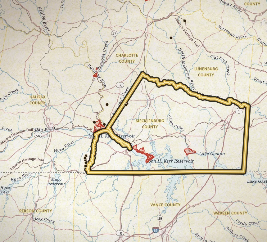
Mecklenburg belongs on the Virgilina list because of district geology, not because the current VaGoldMaps gold inventory is full of Mecklenburg pins. Right now that count is zero.
Open Mecklenburg County on the map · Create a free account to zoom closer: 3 days of full access
Water to study: Roanoke River / Kerr Lake country east of the Virgilina cluster. Research the district, do not assume public beaches.
The Virgilina district is usually described as Halifax, Charlotte, and Mecklenburg Counties in Virginia, plus ground across the North Carolina line. Town-of-Virgilina country sits on that border. Historic copper-gold work is the regional story.
If a scraped 'places to find gold' table lists Mecklenburg prospects, treat it as a lead to check against primary inventories, not as a verified pan spot. We would rather show an empty pin list than invent sites.
Open the map near the Halifax cluster and the state line, then pan (the camera, not the gravel) into Mecklenburg. When inventory records with gold as a commodity appear, they will show up here. Until then, this page is context for the district.
Neighboring gold counties
Common questions
Is there gold in Mecklenburg County?
Mecklenburg County is part of the Virgilina district. VaGoldMaps does not currently list gold inventory pins in this county. Research the neighboring district counties on the map, and confirm access before you go.
Can you pan for gold in Mecklenburg County?
Only where you have permission or a lawful public-land allowance. Most of Virginia is private. Parks and wildlife management areas are closed to collecting. Mecklenburg County is a research area, not a county-wide pan permit.
Where should I start on the map?
Open Mecklenburg County on VaGoldMaps, keep streams on, and compare historic mine pins to the drainages. Roanoke River / Kerr Lake country east of the Virgilina cluster. Research the district, do not assume public beaches. Then check land status and ownership before any field day.
All gold counties
- Louisa
- Spotsylvania
- Orange
- Buckingham
- Fluvanna
- Goochland
- Prince William
- Stafford
- Fairfax
- Halifax (Virgilina)
- Charlotte (Virgilina)
Gold in Virginia · Named historic mines
Open the map