Layered geology
Mines, faults, lithology, LiDAR hillshade, and more. Stack what matters and peel back what doesn't.
VaGoldMaps
Virginia gold prospecting map for the Gold-Pyrite Belt: historic mines, faults, and streams before you dig.
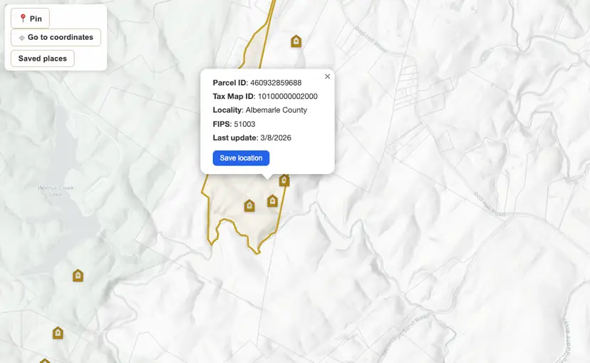
Layers you can toggle, terrain you can read, and tools that respect how you actually explore.
Mines, faults, lithology, LiDAR hillshade, and more. Stack what matters and peel back what doesn't.
Drop pins, name claims, measure distance and bearing, and share a read-only link when you want to.
Stories and deep dives from the belt: research, history, and how to read the ground.
Start here
Where gold occurs, which counties and rivers to research, what's legal to pan, and how to study the belt on the map before you dig.
Coming soon · App Store
Native GPS, offline packs, and the same belt layers. Built for the creek when the bars disappear.
From the belt
In 1929 Ford bought the Vaucluse diggings for the mill iron, not the flakes.
The holiday gives you time. Dig into the map first. Then walk a creek you already know.
Late summer water drops. Bars and rock you miss in spring sit in the air.
Ready when you are
No account needed to start looking. Open the map and see what's under your feet.